Five days before Haiyan made landfall, when it was still an unnamed tropical depression in the vicinity of the Marshall Islands, the JTWC forecast already indicated that it was going straight towards the Philippine island of Samar and that it was going to be a very strong typhoon with minimum sustained central wind speeds of 120 knots (222 kph). How did we know this?
Unlike with the forecast track, the numeric forecast intensity guidance that was available during the early stages of Haiyan did not indicate significant intensification. However, following careful analysis, we decided against computer model guidance and went for rapid intensification (RI), at least 20 knots higher. There were four key factors that we considered for this:
- Haiyan formed further east than normal, giving it more time and space to intensify.
- A strong poleward outflow caused by the STR was expected to persist throughout its lifespan. A secondary radial outflow (venting mechanism) was also expected to form as the cyclone gained momentum. A dual venting mechanism is essential for RI.
- Haiyan was expected to track across an area with low vertical wind shear.
- Sea surface temperatures in the Western Pacific and the Philippine Sea where Haiyan was forecast to track are perennially warm.
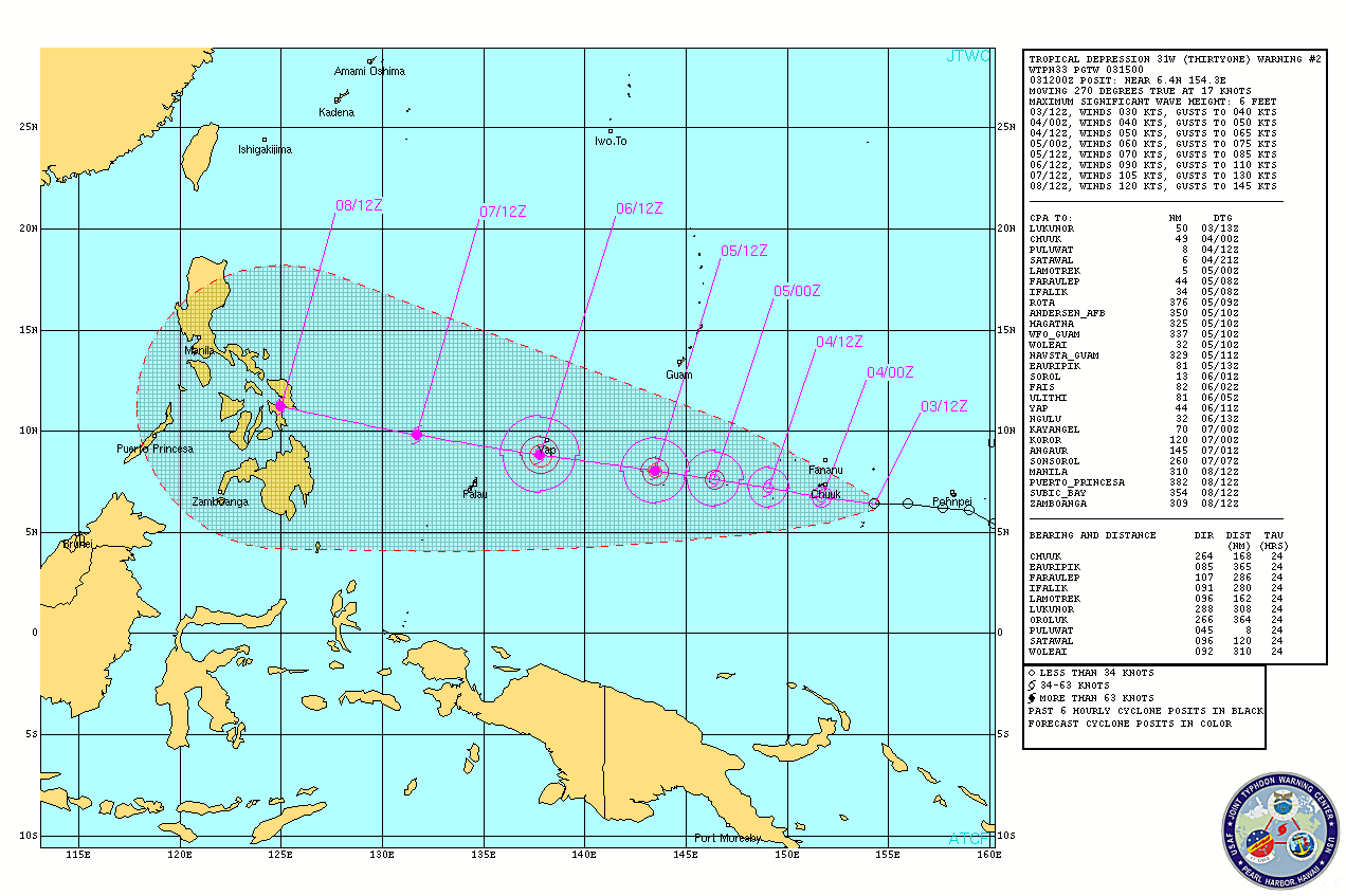
Three days before landfall, when Haiyan was about to enter the Philippine Area of Responsibility, Pagasa began monitoring it and named it Yolanda. JTWC further raised its forecast intensity and indicated STY category (minimum of 127 knots/235 kph) before landfall. The Philippine Inquirer caught on this forecast and used it to alert the targeted areas.
The Japan Meteorological Agency, the weather agency designated by the World Meteorological Organization with primary responsibility for tropical cyclone warnings in the Western Pacific, has also been issuing their bulletins from the onset with forecast tracks that were very similar to those of JTWC.
These three weather agencies provided warning products that predicted the arrival and intensity of Haiyan with a very high degree of accuracy and with plenty of lead time. The question is, how did government agencies and officials use this information to prepare their people?
From online newspaper accounts, it seems that most of them tried their best. Some were successful in averting significant casualties but others, unfortunately, not so much. Two mayors, for example, were in stark contrast. The mayor of Tulang Diyot island ordered all his 1,000 constituents to evacuate after assessing how bad the typhoon will be. As a result, although his island was virtually flattened by Haiyan, no one died.
On the other hand, in Tacloban where it appears to have the most number of casualty, the mayor claims to have alerted and prepared his people well but many, including his own people, refute that. Plus, it doesn't bode well to find out that, based on his own admission, he was inspecting his beach resort hotel just before the TC made landfall and, as a result, he and his family were caught in the storm surge and almost lost their lives.
This proves that proper risk management and disaster preparedness do save lives. Haiyan tested Filipino leaders on these skills. Whether they passed the test or not is a matter of perspective. However, the death toll is an indisputable barometer of how well each leader fared.
Do Filipinos, from a governor down to the head of a household, have the necessary tools to assess the risks associated with the approach of a typhoon? I am sure everyone who stood to be affected by Haiyan went through a mental checklist and came up with a course of action. These courses of action were varied, i.e., stay put, evacuate, move to higher grounds, board up windows, stock up on basic supplies, etc. Can these tools be improved? I believe so.